Dozens of residents showed up at Tuesday’s Baltimore County Council work session to plead for more time to study the latest redistricting map, which dropped five hours before a public hearing on efforts to slice up Maryland’s third-largest county.
The latest map is part of a yearslong effort to expand the council from seven districts to nine, the first expansion since the council was formed in 1956. For weeks, the map included two majority-minority districts on the west side of the county. The new version, released at 11 a.m. Tuesday, includes a third majority-minority district on the west side.
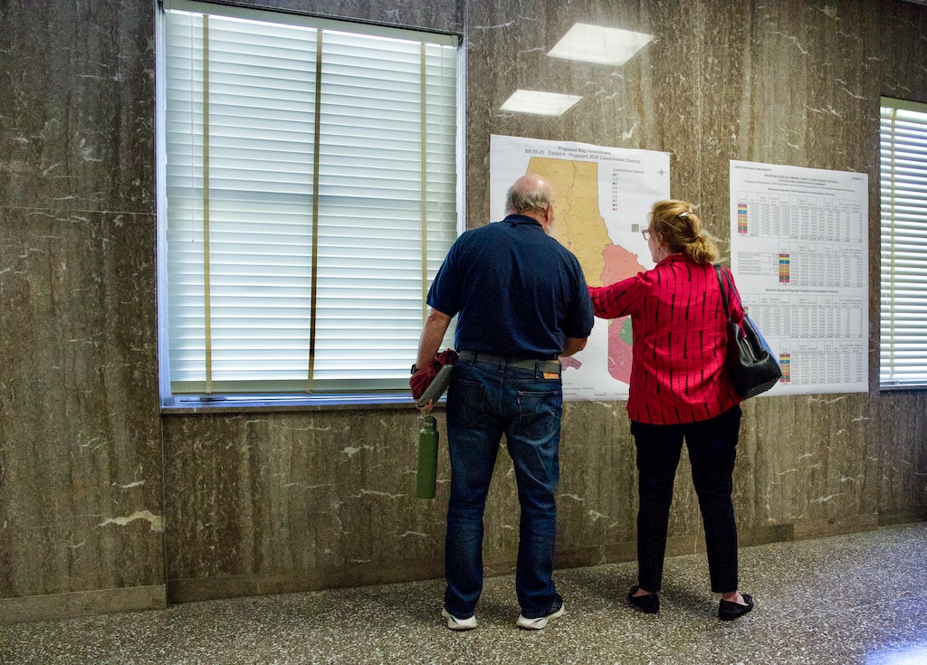
“There needs to be an opportunity for the public to digest what you are showing us, what you have put before us, and maybe even if necessary call a special meeting to address whatever it is people may see or have concerns about relative to the new product,” said Charlotte Wood, chair of the Baltimore County Democratic Party. Like many others who testified, Wood had prepared remarks on the map that was current as of 9 a.m. Tuesday, not realizing that a new one had been released.
The council itself has been divided over redistricting, which is part of an effort to increase diversity in the administrative body.
In July 2024, the council needed five votes to advance a measure to expand from seven to nine. Councilmen Mike Ertel and Izzy Patoka, both Democrats, were always on board with expansion. But fellow Democrats Julian Jones and Pat Young were lukewarm, and then only wanted to expand if that yielded four more districts. So Patoka and Ertel relied on their three Republican colleagues to get the expansion provision on last fall’s ballot and change the charter. Republican support came with a price: a map that gave Democrats a 5-4 advantage instead of a 6-3 one.
The initial map included two majority-minority districts on the west side. It was not binding, so the council established a redistricting commission that met for 15 weeks. The commission recommended two majority-Black districts on the west side plus two more majority-minority districts: one in the west and another in the east. The county’s population is about one-third Black and includes growing Latino and Asian populations, but only two Black candidates have ever been elected to the council, both of whom came from the same Black-majority district created two decades ago. Prior to that, the council was all white, and mostly men. Only five women have ever served on it, and the body has never included an Asian, Latino, or Arab American representative.
Almost immediately after the redistricting commission map was released, the council’s Republicans said they would not support it. With the map requiring five votes — thus needing at least some Republican support — the council got back to work. The next map reverted somewhat to the original, with two majority-Black districts on the west side. That was the map until Tuesday.
As Ertel reminded the crowd Tuesday, the redistricting has two main goals: complying with the Voting Rights Act, and keeping communities with similar concerns and geography together. With that in mind, Ertel, Patoka and Republican David Marks worked long hours on a map to increase minority representation. All three have said that process was open to all, but Patoka said those three are most engaged in this exercise.
Young and Jones both said the public needed more time to digest the maps. Both have complained about certain members drawing maps “behind closed doors,” with Young even going so far as to allege the maps have been secret.
Last week, Young headlined a press conference where he said his colleagues had frozen him out. Later that day, he sent out a fundraising email asking potential donors to join him in opposing the map.
“We have democratic county councilman colluding behind closed doors to develop new council maps that disenfranchise voters of color and misrepresent the voters of the county,” the email read.
Ertel, Patoka and Marks have bristled at Young’s characterizations. Patoka said Young had not called him in nearly eight months and rarely comes to the Towson offices where the trio have been working.

As Del. N. Scott Phillips testified about his hopes for more time to review the map, Ertel, Patoka and Marks sparred with Young over his detachment and subsequent criticism.
“Some of us have taken a deep dive on every recommendation that comes in. And others choose to opine and observe, and sit on the sidelines, and then come to a meeting and say — and we’re here — ‘There’s not enough time,’” Patoka said.
“We’ve been doing this for two years, but not everybody has participated, and I would suggest that you would understand that, Councilman Young, had you been an active participant,” he added.
As the gallery groaned, Ertel said Young has been “absent” for much of the hard work. He pointed out that, unlike the highly partisan state redistricting process that Young worked on as a delegate, the county districts included no “snakes” — gerrymandered districts that pack favorable precincts into a long, skinny line to ensure they remain in a certain party.
“I think you’re missing the point of the entire conversation,” Young responded. “It’s not about whether I participate, it’s whether there’s an opportunity for the public.”
Many in the gallery applauded. Young and Ertel continued to spar as the state delegate sat at the microphone — feeling, he acknowledged afterward, like a third wheel on a date between an acrimonious couple.
Finally, after sitting there for more than 15 minutes — the three-minute timer chime a distant memory — Phillips said to Ertel, “Councilman, I think you’re done with me.”
The council is scheduled to vote on the map at 6 p.m. Monday.


Comments
Welcome to The Banner's subscriber-only commenting community. Please review our community guidelines.